
Jefferson Neighbors Around One Block
The immediate-block method separates parcel facts from assumptions about people. Start with the target parcel, then identify the surrounding parcel geometry and each record’s keeper. A tax owner can be a person, trust, estate, corporation, or LLC, and a mailing address is not proof that the owner lives there. The table gives a Jefferson neighbor search its proper boundaries: the GIS map identifies candidates, the tax and deed sources establish property facts, and public civic pages provide organization context rather than household rosters.
| Block source | What it shows around an address | Access path |
|---|---|---|
| Jefferson GIS Parcel Searcher | Parcel boundaries, adjacent geometry, layers, buffer and report tools | Public web app; result fields vary |
| Jefferson Tax Search | Selected-year owner, address, block, lot, qualifier, and tax data for each parcel | Public address, owner, and block/lot search |
| Jefferson County Clerk deed index | Recorded owners, instrument data, and legal descriptions over time | Online from 1960; older records through the Records Vault or archives |
| Jefferson Township permit or code file | Work timing, violation, inspection, and responsible-party records | Department contact or defined OPRA request with a date range |
| Jefferson voter status | One person’s own registration status and district information | Individual state tool, not public block browsing |
| Jefferson Land Use Board file | Application materials and owner notice lists within 200 feet where a record exists | Township land-use files or OPRA |
| Jefferson civic organization page | Public organization names, contacts, and outreach information | Township quick links, chamber, or organization page |
For older neighbors, regional reverse directories can offer an address-first entry for a particular publication year. They are a historical lead only, and their coverage must be checked for the road and period at issue.
Jefferson Neighbors Begin in County GIS
Search the Morris GIS Parcel Searcher by Jefferson municipality, owner name, street address, or parcel ID. Open the Jefferson target parcel, switch between Map and Results, and make sure the selected parcel is in the correct municipality. More Search Options, search layers, filters, reports, and the buffer-in-feet field can narrow the Jefferson view. The buffer is a candidate tool. It does not decide who is a legal neighbor because a road, shoreline, easement, or parcel shape can separate properties that look close on a screen.
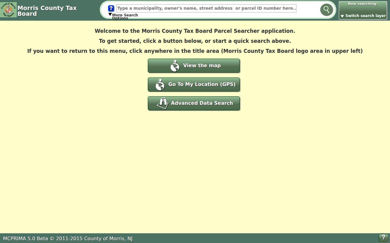
The Parcel Searcher screen shows the controls that matter for an immediate Jefferson block: quick search, results, filters, report, and buffer functions. The county’s disclaimer says its Jefferson geometry is for locating, identifying, and inventorying parcels, not for a survey or legal description, so confirm the map reading with Jefferson tax-map, plat, and deed records.
Jefferson Neighbor Parcel Keys
After the map identifies a Jefferson candidate parcel, use the Morris County Tax Search to confirm its current tax record. The search begins with a tax year and municipal district. Jefferson uses district 1414 in the local assessment interface. Search by location when the Jefferson street line is known, or by block and lot when the map has already supplied those keys. Preserve an available qualifier, since it can distinguish a Jefferson subparcel or condominium record. The assessment interface also has Location, Owner Name, Block, Lot, and Qualifier criteria.
A situs address identifies the physical parcel. A tax mailing address is only the place that receives owner correspondence. That distinction matters around a Jefferson block because an owner may receive tax mail in another township, another state, or a postal place that is not the parcel’s municipality. A tax card may suggest ownership and mailing patterns, but it does not establish all occupants or create a list of neighbors.
Confirm Jefferson Neighbors on Maps and Deeds
Move from the GIS candidate list to the tax map, plat, and recorded chain before calling two parcels adjacent. In the Morris County Clerk Public Search, use Party Name, Town, Lot/Block, Parcel ID, Map Number, Legal Description, instrument number, or book/page as the record permits. Select Jefferson as the town rather than inferring jurisdiction from a ZIP. Compare the legal-description line and map references against the parcel key. The online property index reaches back to 1960; pre-1960 records and certified or non-watermarked copies belong with the Records Vault.
- Locate the Jefferson target address or parcel ID in GIS and save the municipality, block, lot, and qualifier.
- Pan only to Jefferson parcels sharing a boundary or road frontage, or use a small buffer to produce candidates.
- Check each Jefferson candidate in Tax Search, retaining the selected tax year and distinguishing situs from mailing address.
- Inspect the Jefferson tax map or recorded plat when roads, water, private drives, or easements complicate the view.
- Search the Jefferson owner, parcel, or legal description in the Clerk index and read the deed record for confirmation.
For a full named-street sequence rather than an immediate block, the Jefferson by-street directory follows the separate tax-to-GIS-to-deed workflow along the road.
Lake Hopatcong Jefferson Neighbor Boundaries
A lake-side map needs more checks than a flat block. Lake Hopatcong spans multiple municipalities and counties, and Jefferson’s terrain separates the Milton/Oak Ridge and Lake Hopatcong sections. A parcel that appears close across a shoreline or private road may not share a boundary, and a nearby map feature can sit outside Jefferson’s tax district. Verify the GIS municipality and district before treating a visually adjacent result as a Jefferson neighbor parcel.
Postal names add a second trap. Jefferson addresses may use Oak Ridge, Milton, Lake Hopatcong, Newfoundland, Wharton, Stockholm, or Glasser. Lake Hopatcong addresses commonly use 07849 or 07885, while most Milton addresses use 07438 and a smaller portion uses 07435. Those labels help find an address but do not replace the Jefferson municipality, district 1414, and block-and-lot checks.
Jefferson Neighbor Community Contacts
Public Jefferson civic organizations can give an immediate block some community context without claiming to identify every nearby household. The research found no official Jefferson neighborhood-association or HOA directory with a public membership roster. The resources below publish organization-level contact or outreach information. They should not be read as proof that a person belongs to the organization or lives in a particular Jefferson parcel.
| Public resource | Useful context | Public contact path |
|---|---|---|
| Jefferson Township Historical Society | Jefferson history, photographs, and community memory through the George Chamberlain House | Township historical society page |
| Jefferson Township Chamber | Public Jefferson business and nonprofit member contacts | Chamber member directory |
| Lake Hopatcong Foundation | Jefferson lake and surrounding-community history and projects | Foundation history page |
| Jefferson fire, rescue, first aid, and CERT | Jefferson service geography, public events, and volunteer information | Township Fire & First Aid quick links |
The Jefferson Township Fire & First Aid quick-links page provides the public organization path for local service groups.
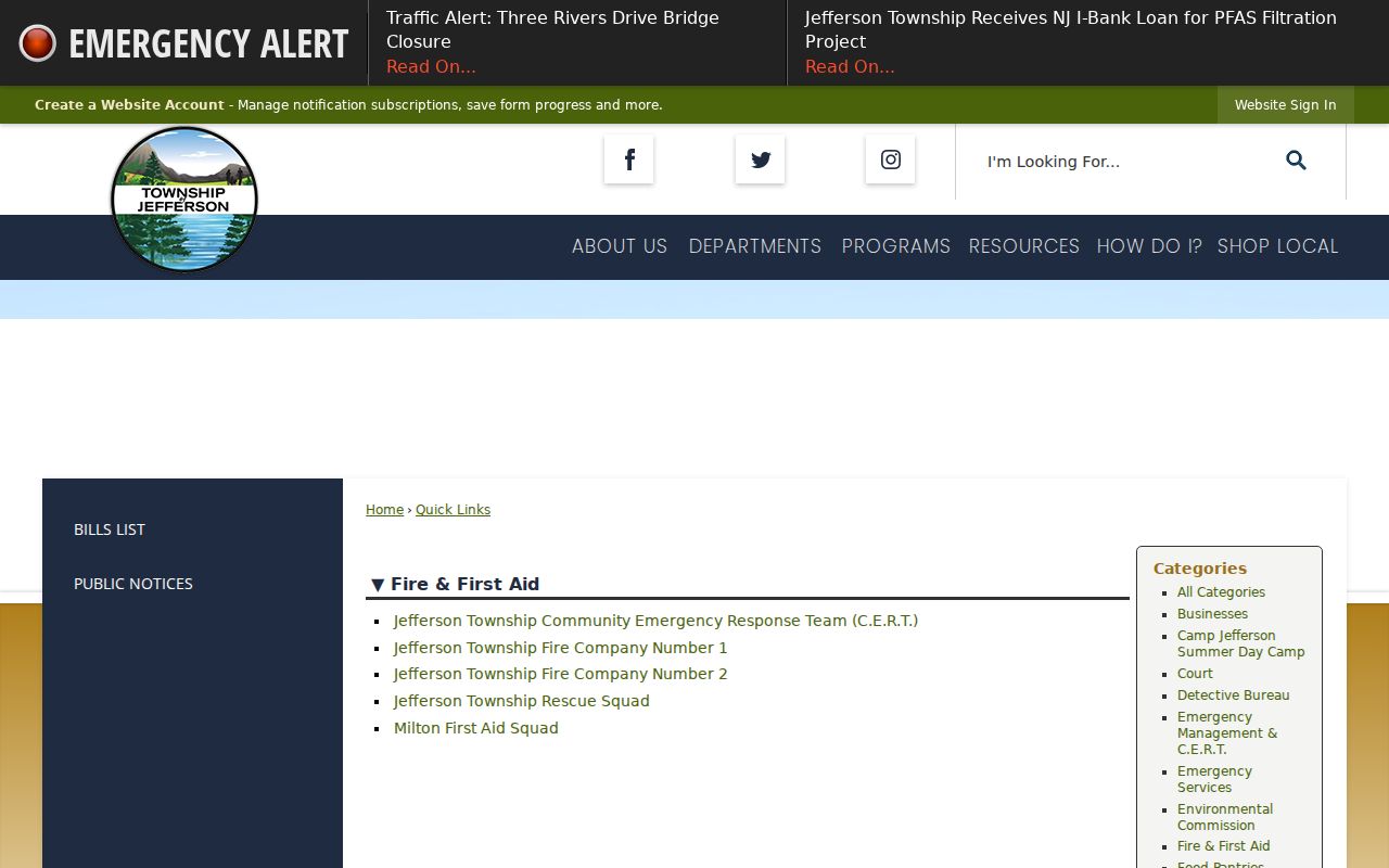
The screen is useful for organization context and public outreach routes. It is not a source for member rosters or a substitute for parcel confirmation. JTFD2 serves the Lake Hopatcong section, was established in 1942, and uses its own membership form, but the research did not find a public roster.
Jefferson Neighbors and Municipal Files
Jefferson municipal files can clarify a defined property question after the parcel has been identified. Jefferson’s OPRA instructions direct requesters to identify an existing record, office, address, and date range. Relevant Jefferson address-keyed categories include permit logs, site plans, septic and well records, land-use applications and resolutions, property violations, summonses, tax or lien material, utilities, and court records. The Jefferson Township does not have to conduct research or assemble a new household list from multiple departments.
A Building Department permit file can document work, plans, subcodes, block and lot, inspections, and related activity. Code files can concern property maintenance, vacant-property issues, inspections, warnings, or complaints. Land-use materials can include 200-foot owner notice lists for a particular application. These are bounded records tied to a case or address. They may name an owner, applicant, contractor, or responsible person, but they do not prove present residence.
Official Records and Commercial Neighbor Tools
Official Jefferson records and commercial neighbor tools serve different purposes. County sources identify a parcel, a recorded transfer, or a dated municipal file that can be checked with the custodian. Commercial tools may group public and other data around a Jefferson address, but their associations can be outdated or merge different people. A commercial result should never override the Jefferson tax map, Clerk deed, defined municipal record, or the privacy limits that apply to the underlying source.
| Official parcel and deed sources | Traceable to a custodian, specific record type, date, and parcel or document identifier. |
|---|---|
| Commercial neighbor category | May offer address associations, but can be stale, incomplete, or mismerged and lacks custodian authority. |
| Best Jefferson check | Compare GIS geometry, Tax Search, a tax map or plat, and the recorded deed before relying on an address relationship. |
Jefferson Neighbor Records in 2026
The county’s 2026 notices matter when a Jefferson neighbor search depends on a map screen. Morris County introduced a new Tax Map Viewer in January. In August, it reported that the legacy advanced and simple tax applications had been fixed to provide buffer lists and reports, that aerial photography had temporarily replaced the familiar background map, and that server replacement could still cause downtime. Capture the search date and move to the tax or deed record when a map control fails.
Jefferson’s revaluation work also continues through 2026, with implementation planned for tax year 2027. Keep the last Jefferson recorded deed, current assessment, preliminary valuation, and eventual implementation separate in Jefferson research notes. They reflect different record dates and should not be collapsed into one statement about a parcel.
Privacy Limits for Jefferson Neighbor Searches
Some information about a Jefferson block remains private even when Jefferson parcels are publicly mapped. Renters and other household members may not appear in owner or deed records. Utility, delivery, and motor-vehicle address lists are not general public sources. The state voter-status tool is an individual check, not a browseable Jefferson block list. A regulated voter-file request goes through the county registration or elections office and excludes protected information. It does not reveal ballot selections.
Jefferson’s OPRA process permits redaction of protected identifiers and requires a specific record request. Daniel’s Law can protect covered persons’ home addresses and unpublished phone information. The Address Confidentiality Program can supply an eligible participant with a substitute address. Protected voter addresses, signatures, Social Security numbers, driver-license and non-driver ID numbers, and other restricted fields should never be copied into a neighbor list or used to infer a residence.