
Finding Jefferson Streets by Address
Use one Jefferson street address to build a short, document-based trail. The Morris County tax record supplies the Jefferson parcel key, not a household roster. Morris GIS then places that key on the Jefferson map. The Morris County Clerk can connect the tax owner or legal description to recorded deeds. Each step answers a narrower question, which keeps a Jefferson street directory search tied to the correct property. If the purpose shifts to one named person rather than a road, use the separate Jefferson resident lookup route instead of turning an address file into a personal profile.
- Enter the house number and street in the Morris County Tax Search, choose a tax year and confirm Jefferson as district 1414. Record the Jefferson block, lot, and qualifier exactly as returned.
- Open the same Jefferson address or parcel ID in the Morris GIS Parcel Searcher. Check the mapped parcel and its municipality before using any nearby result.
- Use the current owner, parcel ID, map number, or legal-description wording in the County Clerk Public Search. Select Jefferson as the town when that search mode is available.
- Read the Jefferson deed date, instrument or book/page reference, consideration, and legal-description lines. Search the earlier owner as a party when a prior transfer needs confirmation.
- For an older Jefferson address lead, check a reverse or criss-cross directory only for its publication year, then compare it with maps, deeds, and county sources. A directory entry is a dated clue, not proof of current residence.
Note: Tax mailing information can help distinguish owners, but it may point outside Jefferson and does not establish who lives at the situs address.
Jefferson Street Directory Tax Search
The county tax search is the practical first stop for a Jefferson address because it accepts a street line and produces the block-and-lot bridge needed by the other systems. The linked Jefferson assessment interface uses the same local district and also exposes Location, Owner Name, Block, Lot, and Qualifier choices. Choose the tax year before reading a result. The interface describes sales material as a working file and warns that assessment and sales data do not automatically prove value. Treat the parcel result as a current tax record, then verify a transfer in the deed index.
| Tax-search field | Input | Required | Jefferson use |
|---|---|---|---|
| Tax Year | Select | Yes | Choose the Jefferson record year for each search mode. |
| District | Select | Yes | Use Jefferson district 1414 in the local assessment service. |
| House Number | Text | No | Use with a Jefferson Street Name in property-location mode. |
| Street Name | Text | Yes | Use the Jefferson street spelling shown in the tax or map record. |
| Owner | Text | Yes in owner mode | Search the recorded Jefferson tax owner, not an assumed occupant. |
| Block and Lot | Text | Yes in block/lot mode | Carry both Jefferson values to GIS, the Clerk, maps, and OPRA requests. |
| Qual Code | Text | No | Keep a Jefferson qualifier when the parcel record supplies one. |
Block, lot, and qualifier are stronger Jefferson search bridges than a ZIP code. The Tax Search also has prior block-and-lot mode, which can help when a Jefferson parcel identifier has changed. The local assessment form adds search-format, output-format, and items-per-page controls, so save the criteria used with any result. Neither inspected tax interface exposes a ZIP field.
Morris GIS for Jefferson Street Parcels
The Morris GIS Parcel Searcher gives the Jefferson street directory its map layer. Its quick search accepts a municipality, owner name, street address, or parcel ID. After opening a result, use Map and Results to compare the parcel with the road, and use More Search Options or a search layer when the first result is too broad. The app also exposes filters, reports, and a buffer-in-feet control. Those tools help inspect a Jefferson stretch of road, but the county says GIS data is for locating, identifying, and inventorying parcels, not for a legal description or survey.
| Quick search | Jefferson municipality, owner, street address, or parcel ID. |
|---|---|
| Search layer and filters | Controls for changing the Jefferson dataset and narrowing displayed results. |
| Buffer in Feet | Creates a nearby Jefferson-parcel list or report, subject to the map’s limits. |
| Map, Results, Report | Views for Jefferson parcel geometry, result lists, and supported reports. |
Morris County announced a new Tax Map Viewer on January 30, 2026. Its August 26, 2026 notice said the legacy advanced and simple tax apps were fixed for buffer lists and reports, aerial photography had temporarily replaced the familiar background map, and server replacement could cause future downtime. Record the Jefferson search date when a screen image is saved. The parcel layer is useful for a Jefferson street directory check, but a deed, plat, survey, or custodian record controls the legal conclusion.
Jefferson Street Deed Chains
The County Clerk Public Search is the recorded-document step after Jefferson tax and GIS work. It offers Party Name, Document Type, Instrument Number, Book/Page, Town, Lot/Block, Legal Description, Map Number, Parcel ID, District, and date-range modes. Party names use last name first, with no comma between the first and last name. For a current Jefferson purchase deed, search the owner as a party, inspect the record, then use the seller or grantor as an earlier search lead. Legal-description wording, block/lot, and map references are safer historical bridges than a house number because older deeds may omit the modern street line.
The online property-record application reaches back to 1960. Earlier Jefferson records and certified or non-watermarked copies route through the County Clerk Records Vault. The search results can show party name, document type, instrument number, recording date and time, book/page, pages, consideration, parcel fields, and up to three legal-description lines. A CAPTCHA may appear, and the research notes that statuses other than V or B are not verified. Read a Jefferson result as a recorded-document index, then obtain the underlying record when a detail matters.
Jefferson Street Names and Postal Places
Jefferson Township is the municipal tax jurisdiction, yet street addresses may use Oak Ridge, Milton, Lake Hopatcong, Newfoundland, Wharton, Stockholm, or Glasser as their postal or community label. That is why a street directory search should retain both the printed mailing place and the Jefferson municipality. Oak Ridge and Milton commonly use 07438, with a smaller Milton portion using Newfoundland 07435. Lake Hopatcong addresses can use 07849 or 07885. A Wharton mailing label can still belong to a Jefferson tax parcel.
The township has two developed sections, Milton/Oak Ridge and Lake Hopatcong, separated by lakes, forest, and preserved land. Routes 15, 23, and 181, Berkshire Valley Road, Oak Ridge Road, and Weldon Road can also appear as useful historical anchors. No reviewed source documents one township-wide street renumbering or renaming year. When an older street line fails, compare road returns, historical maps, plats, cross streets, deed legal descriptions, and regional directories rather than assuming that a renumbering occurred.
Jefferson Street Permits and Code Files
Jefferson Township records add facts that are keyed to an address but answer different questions from the tax roll. Jefferson’s OPRA guidance routes defined requests for open and closed permit logs, survey and site-plan material, septic and well files, land-use applications and resolutions, property violations, summonses, tax or lien files, and utility records. Identify the Jefferson record, address, department, and date range. The custodian does not need to perform open-ended research or create a new list from unrelated files.
The Building Department requires block, lot, and permit number for inspection requests and says at least 24 hours’ notice is needed. Code Enforcement maintains property-maintenance, vacant-property, zoning-support, inspection, and violation files. A permit or code file may identify an owner, applicant, contractor, or responsible party. It does not establish current occupancy, but it can date work or a property-management change.
Jefferson Street Directory Record Coverage
Address-keyed sources are strongest when each is used for the fact it actually holds. The table separates ownership, parcel geometry, transfer history, municipal activity, and historical address leads. It also shows why a street directory cannot be reduced to one online lookup.
| Address record | Keeper | What it can show | Access path |
|---|---|---|---|
| Current Jefferson tax parcel | Morris Tax Board / Jefferson assessor | Owner, situs, mailing address, district, block, lot, qualifier, and assessment indicators | Tax Search or local assessment interface, district 1414 |
| Jefferson GIS parcel and tax map | Morris County GIS | Mapped parcel, nearby geometry, layers, buffer, and report tools | Public Parcel Searcher, not a survey |
| Jefferson recorded deed or lien | Morris County Clerk | Grantor, grantee, recording data, consideration, legal description, and image where available | Online from 1960; Records Vault for older or certified copies |
| Jefferson SR1A sale record | Morris Tax Board | Sale and assessment fields, subject to working-file warnings | SR1A portal, then deed confirmation |
| Jefferson plat or subdivision file | County Clerk / Land Use Board | Lot, road, subdivision, and approval context | Clerk or a defined township OPRA or land-use request |
| Jefferson permit, septic, well, or code file | Jefferson departments | Work, inspection, plan, violation, and responsible-party records | Department contact or OPRA with an address and date range |
Jefferson Street Directories and Older Roads
For a past household, a criss-cross directory works from address to occupant for the year printed. Search the exact street and number, inspect nearby entries, and read the book’s abbreviation key. Regional holdings do not prove that every rural Jefferson road was included. If a street is absent, compare the Morris County Library’s telephone and city-directory collections with tax parcels, maps, newspapers, deeds, and county material. The historical collections themselves are described on the Jefferson city directories page.
Morris County Archives road returns from 1741 to 1915 can preserve Jefferson road layout and adjoining-owner context that a modern name search misses. The County Historical Society guide cites county maps from 1853, 1868, 1887, and 1910. Jefferson was formed in 1804 from portions of Pequannock and Roxbury, so earlier Jefferson land, road, church, or probate material may sit under a parent township, Morris County, or state archive series. These older sources are address bridges, not evidence that a current street number existed then.
Jefferson Street Property Alert
The Morris County Clerk Property Alert Service is a free, limited-purpose tool for monitoring future recording activity by person name or by municipality, block, and lot. It is not a title search and does not replace a review of the underlying document, but it can flag a new recording for a property already identified through the street directory workflow.
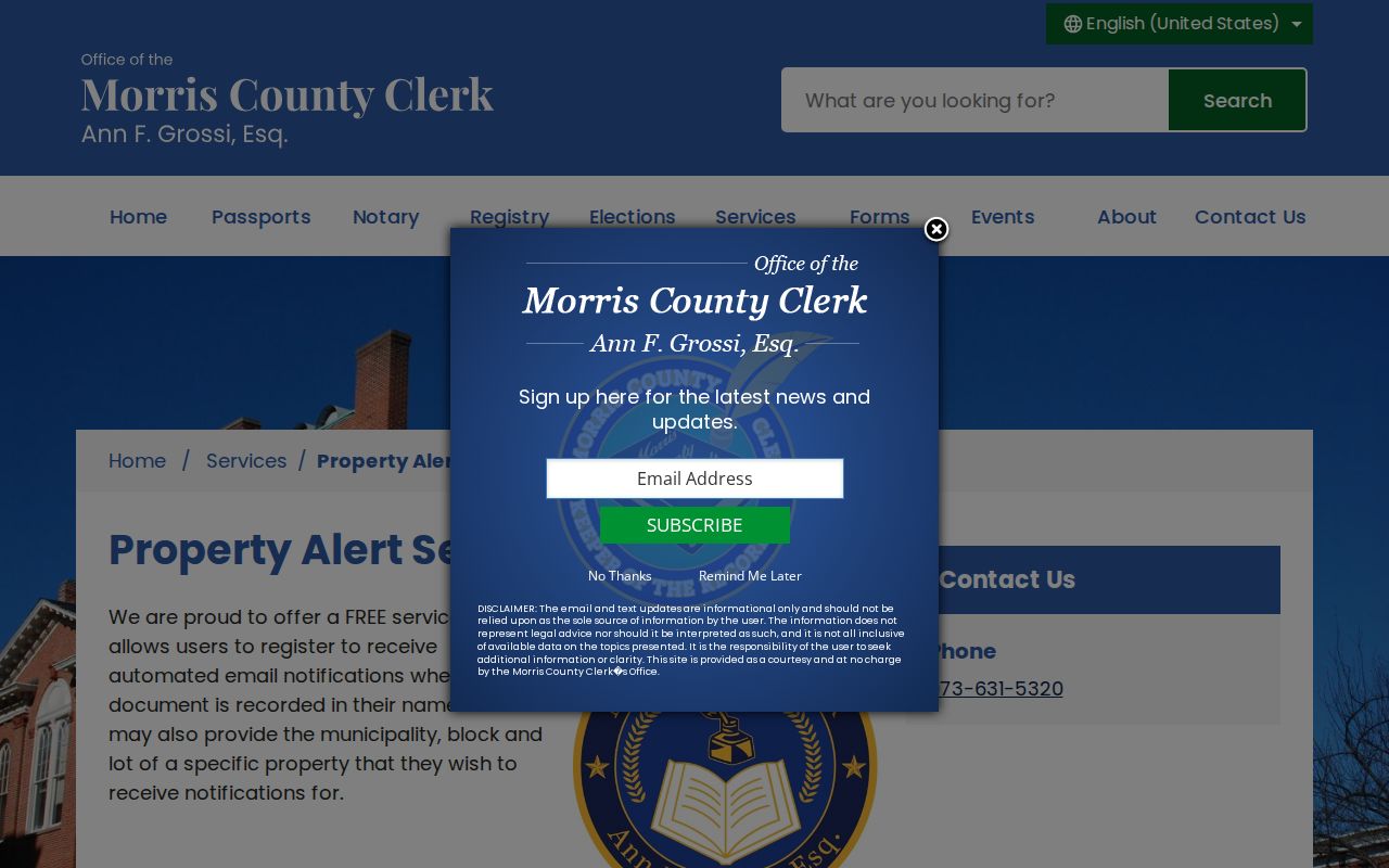
The registration screen reinforces the useful Jefferson-specific key: select the municipality and preserve the Jefferson block and lot from the tax record. Use the Jefferson Clerk index to read any alert-triggering document and the Records Vault for the copies that the online search does not supply.
What a Jefferson Street Directory Cannot Show
Jefferson tax and deed records identify ownership and transactions, not every person at an address. Renters and household members need not appear in either source. The state’s individual voter-status tool is for a person’s own status and polling information, not a public Jefferson street-by-street roster. A full voter-file request follows election-law procedures through the county office and remains subject to protected-address, signature, identifier, and use restrictions. Utility customer lists and motor-vehicle address data are not a general public directory.
New Jersey OPRA requires a defined, identifiable Jefferson record and permits redaction. Daniel’s Law, the Address Confidentiality Program, and protected voter-address rules can remove or shield a home address. Do not try to infer a protected residence from a different record or republish information that a custodian redacted. When a Jefferson address cannot be confirmed, keep the result as an unverified research lead and return to the office that holds the record.